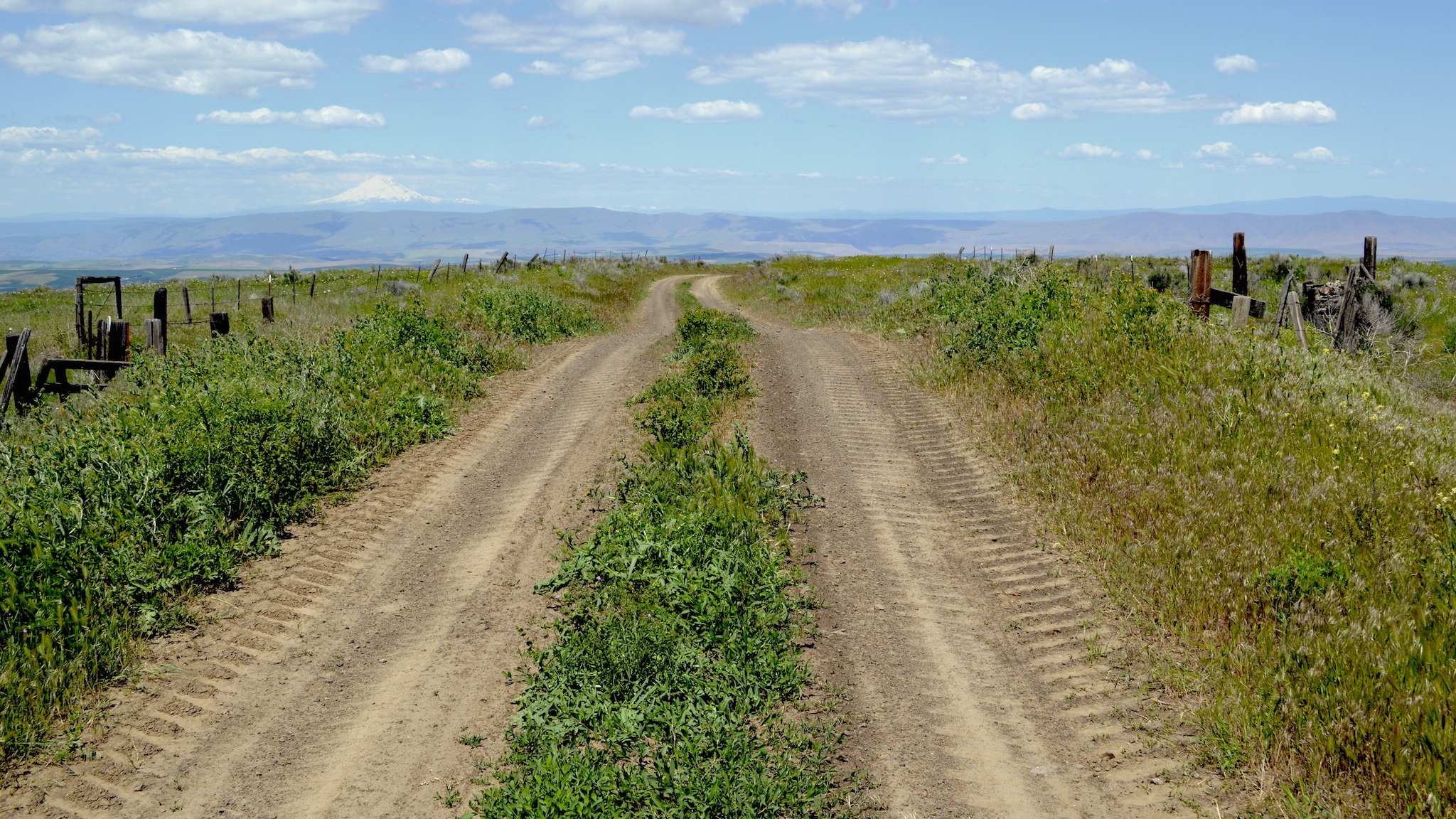
THE DALLES HAS THE BEST ROADS IN OREGON
(and Washington too)
From shiny tarmac to crushed gravel to wagon roads and rocky trails — the Dalles has the best road and gravel cycling in Oregon (or Washington for that matter).
It’s not just that The Dalles has really good roads. Nor just the absence of traffic. It’s not just the scenery — chiseled out by the 1,000-foot-high Missoula Floods, set amidst rolling palouse hills with forests towering above and volcanoes punctuating the skyline. Not even the drier weather or the nice people or the history.
What makes the Dalles so good is its perfect convergence of all of these things in one place. So many roads that lead to so many more. Each road seemingly better than the last.
Because of this embarrassment of riches, I’ve chosen to create this resource as a guide to the individual roads that make The Dalles amazing — while also including a few great pre-made routes. Rather than organizing these roads based on difficulty or geographic area or pavement and gravel, I’ve organized them based on nothing more than my own personal preference. I hope you enjoy!
This page is a labor of love, but it does have costs. Thanks to Immense Imagery, a socially-responsible digital media agency based in The Dalles, for helping support this website.
How to use this website
The main attraction of this website is surely the collection of road descriptions below [keep scrollin’]. Click on any one for more details, photos, and a map of the road.
You could also:
The List
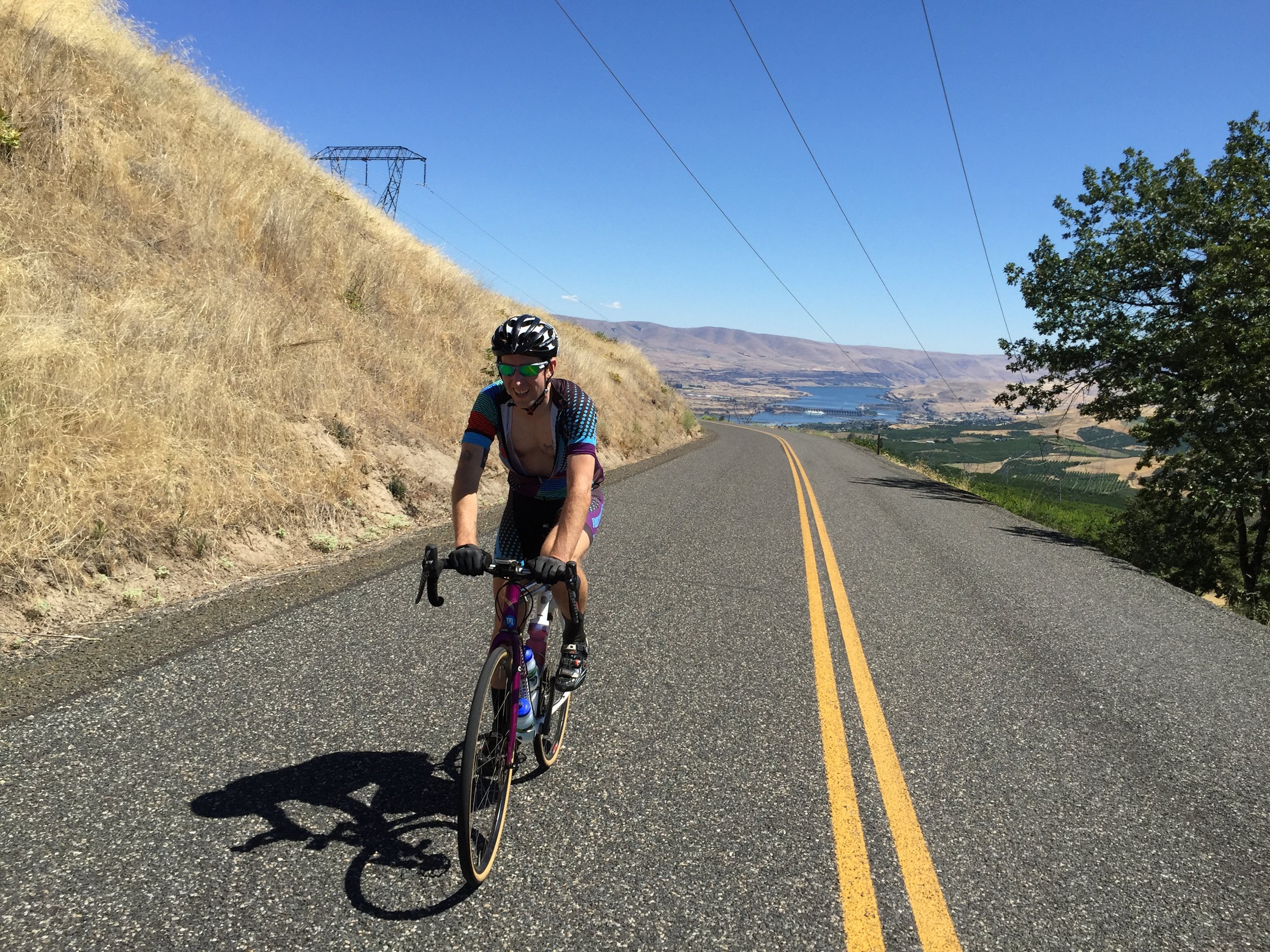
Dalles Mountain Road is the grade A, all-time, most excellent, most beautiful, best views, best climb, best descent, sickest-ass gravel road out there.
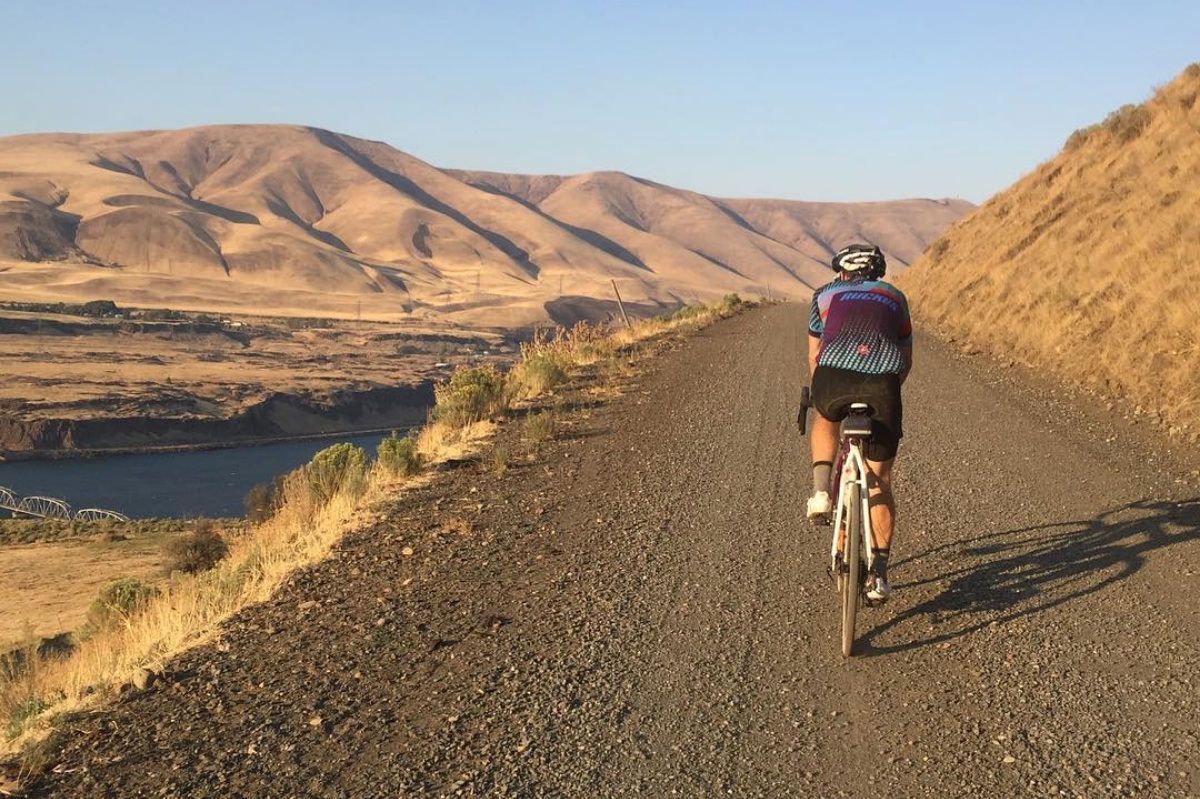
It climbs straight off Highway 14 on the Washington side of the Gorge near Horsethief Butte. The first bit is a nice enough climb up a cute little valley. Three miles in, the road gets out of the valley and cuts flat across the hillside through a historic settlement. The views begin here. Then they get better. And better, and better. The higher you climb, the more Columbia River you see below, with the Dalles across and the fruity hills behind and Mount Hood above.
Anytime a road is called "Skyline," you know it's good—but this road is better. Skyline Road essentially rises from the center of town, climbs up and past the orchards above, and ascends to the high ranches and scrub oak transition zone below Mount Hood National Forest. Check out the abandoned house at the top
You can ride it up or down, loop it with 3 Mile or 5 Mile, come back toward town or keep going up to Mount Hood National Forest.
Did the namers of Moody Road forsee the intense emotions that cyclists would feel while riding it — or was it just someone’s last name? I’ve felt pure bliss finishing a huge ride on sun-drenched Moody, overlooking the Gorge. I’ve felt agony and frustration riding into headwinds with shattered muscles. Giddy, frenetic energy in a big group with fresh legs. And intense sorrow and guilt to be a white man looking down on the former site of Celilo Falls—once the oldest settlement in North America at 15,000 years old—now flooded by the Dalles Dam to make way for the electricity and “progress” that helps me buy expensive bikes.
A creekside delight for you and your friends. Be warned: two cold creek crossing. More of a 4-wheeler road than your normal gravel.
This isn’t the story of a road, it’s the story of a man: Sam Hill.
"Good roads are more than my hobby, they are my religion," Hill said.
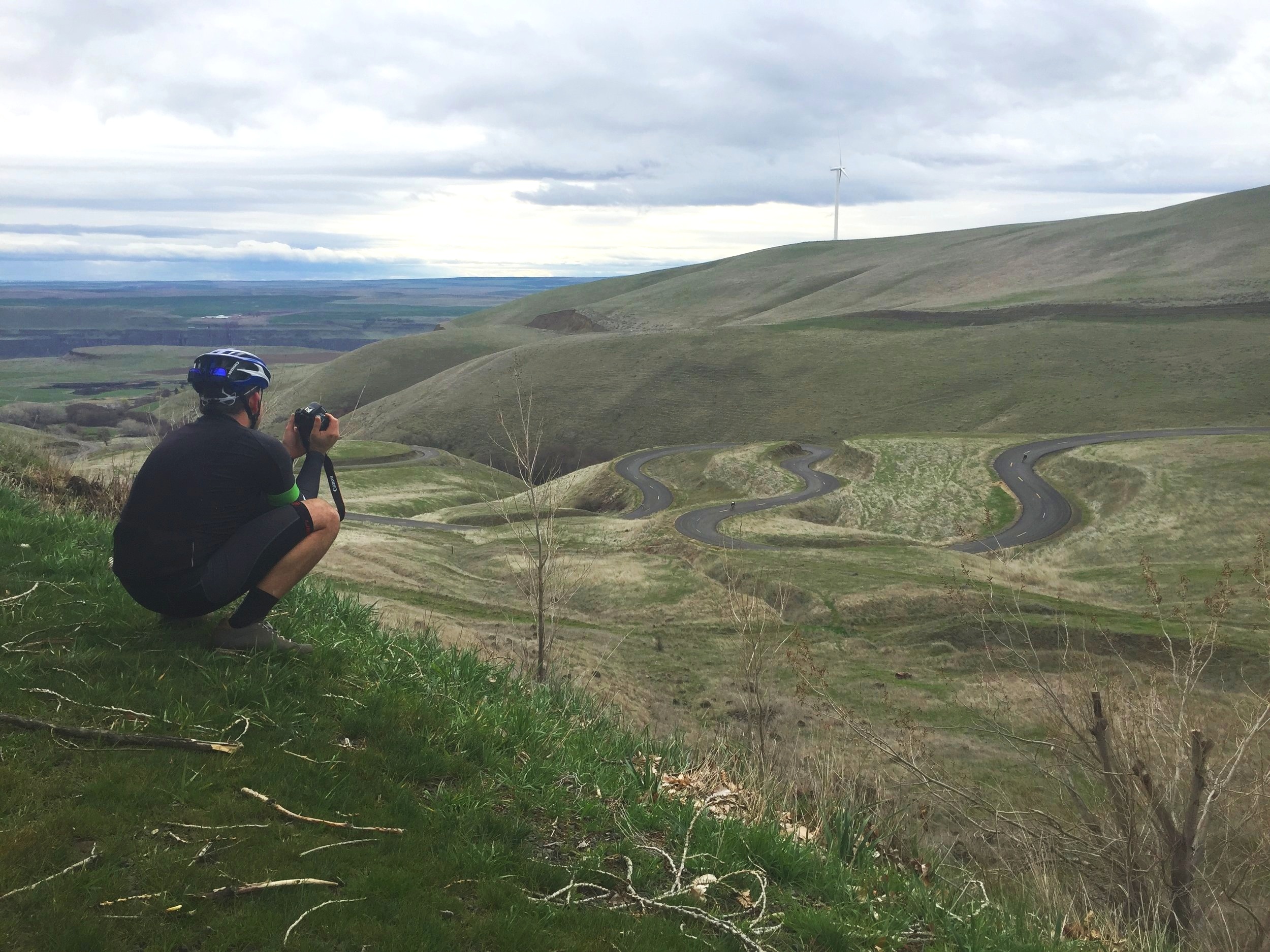
His spiritual reverence is absolutely apparent as you descend the Maryhill Loops, constructed in 1909. His approach to good roadbuilding was to bend the roads across the terrain in a way that maintained easy turns and consistent grades of 3-4%.
Pleasant Ridge is so many things: a twisty tarmac climb just outside of town, the best gravel descent in Wasco County as it drops into Fivemile canyon, a waterbar-crossed blast out of Mount Hood National Forest, and apparently a ridge somewhere that is pleasant to behold.
Depending on what map you look at, Pleasant Ridge Road might be called Jewel Road or NF 4440 at the top, and might include a connecting section of 5 Mile Road to connect to the lower Pleasant Ridge.
There’s a savanna on top of a ridge outside of The Dalles, and everything the light touches is your kingdom.
Ketchum rides along an improbably flat-topped ridge with the greater Mosier Creek watershed on one side and Mill Creek on the other side—which makes for some great views. It maintains a positively reasonable gradient for its length compared to some of the roads nearby.
Freebridge Road is named after a free bridge across the Deschutes River that Wasco County constructed in 1887 as an alternative to the nearby toll bridges. Apparently the toll bridge owners didn’t like the competition, because in 1914 the bridge mysteriously “collapsed in a windstorm” — but many say it was more likely dynamited intentionally.
The concrete supports still sit in the middle of the river today.
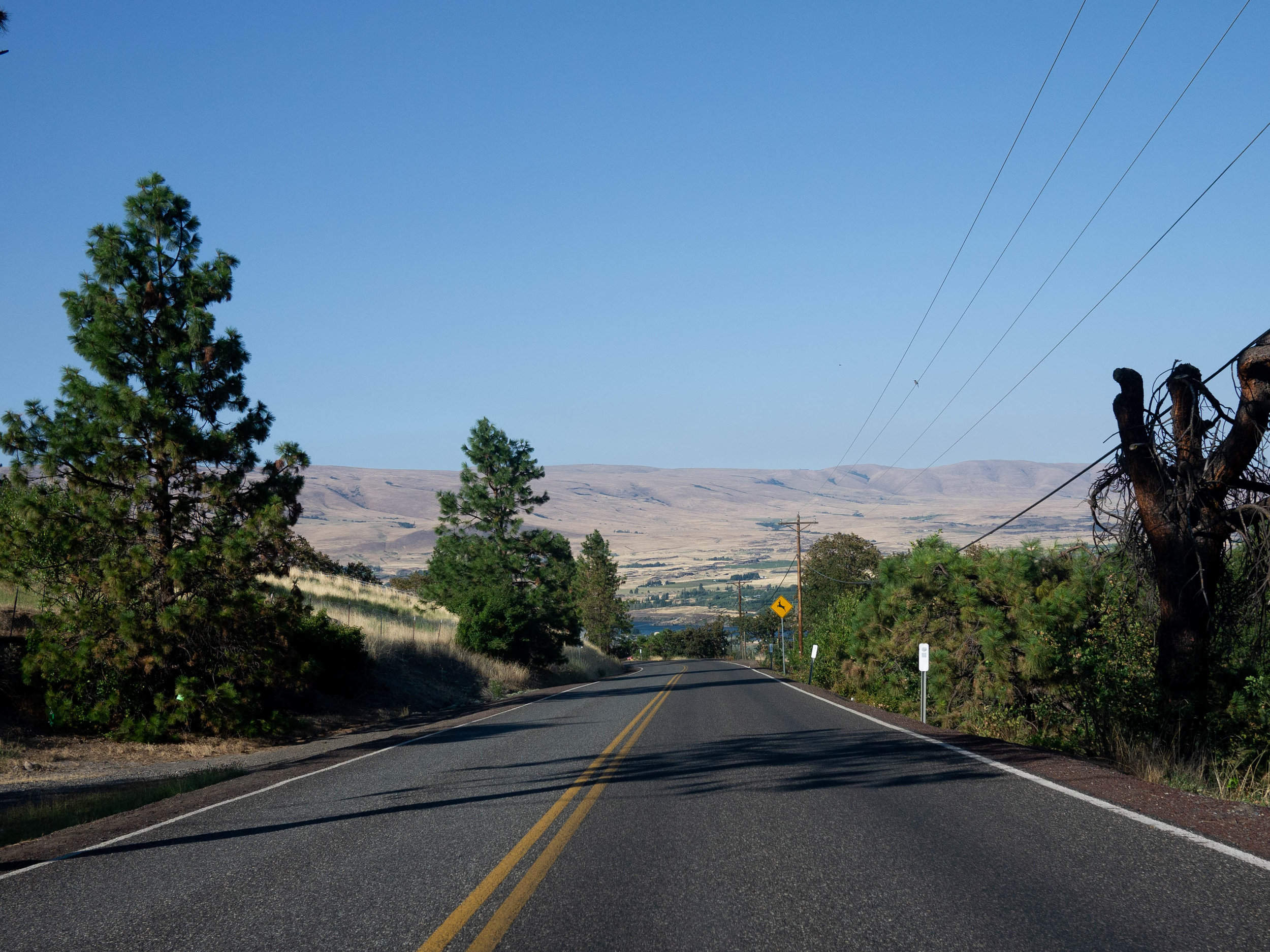
The Dalles really only has one truly big, fast, awesome road descent of any significant length and 7 Mile Hill is it. You stare down The Dalles and the Columbia River dead-ahead, 1400 feet below as you sweep into the gorgeous, grassy hillsides—then blast at warp speed toward it, only slowing for a few tight switchbacks along the way. After a couple fast minutes, you sweep left alongside the Badger Creek and follow the gurgling brook down to Chenowith.
If you’re lucky, you’ll see a couple of very large dogs.
From a doubletrack delight to a quick gravel cruncher, Obrist Road puts you amongst the surrounding ranches with an intimacy that might have you asking, “Umm.. am I supposed to be here?”
Well, it’s on the map and there are no gates, so let’s stop asking questions.
Obrist parallels Upper Threemile/Skyline road above Dutch Flat. The top of the road is confusing to find, but once you get going, you’ll be roosting and boosting on twisty doubletrack with plenty of rocky bump-jumps. Weathered signs on trees tell you absolutely nothing—their words worn off years ago.
This mystical twisting ribbon of tarmac follows 8 Mile Creek from its confluence with Fifteenmile all the way up into the hills above Dufur, where it straightens out and turns to dirt in a pleasant, pastoral valley—before turning into Walston Grade and climbing from out of the river valley and up to Pleasant Ridge.
I have fond memories of racing down the twisty tarmac section in rotation during the old Gorge Roubaix road race.
Like the other whatevermile creeks, Eightmile Creek was named after its mile marker on the Oregon Trail from the end of the road in the Dalles. The road connects to about 10 other great roads, is a dream uphill or down, and can be used to loop together any number of great rides.
If The Dalles had a Greatest Hits album, half the songs would be called Somethingmile Road. Threemile is one of the absolute classics. Starting just outside town, Threemile traverses a couple beautiful orchards on its way to its namesake Threemile Creek, then bends upward, locking in its course directly toward the top of Mount Hood. The little idyllic, pastoral valley tightens up as the road climbs, until the ranches go away—replaced by rock shelves, oak and pines. Eventually the road crosses Dutch Flat, Threemile Creek trickles away, and the road changes to a national forest road, and climbs up to the 44 Trails area and Surveyor’s Ridge Road.
It’s yet another amazing, super-long Dalles road that climbs from down low in the dry Eastern Oregon grasslands through a wooded valley all the way up to Mount Hood National Forest — what more do you need?
Similar to Three Mile, 5 Mile follows its namesake creek. It also has rock shelves — tons of ‘em. Unline Three Mile, its creek keeps going all the way to Mount Hood National Forest, so you stay down low in the valley for a long time.
Another great way to climb up or descend to or from Skyline, 5 Mile, Pleasant Ridge, or just keep going forever into the Forest.
An absolute gem in a hidden valley, Dry Creek climbs from Mosier to the top of 7 Mile Hill at a perfect gradient, with wide-open views of the Dry Creek hollow below. There’s gravel, there’s grass, there’s orchards, there’s stands of scraggly trees. It’s another perfect road outside The Dalles!
Dry Creek is the best way to start a ride from Mosier that connects to the many other perfect roads of the Dalles or to get to the top of 7 Mile Hill.
It’s a paved road in a national forest that goes up (or down) 3,000 feet from folksy, East-Oregon Dufur to foresty Mount Hood National Forest, then down to the Hood River. The descent from the top to Dufur is so long that you’ll literally get bored by how awesome it is. Use it to loop with the extended Skyline or Fivemile or Pleasant Ridge climbs — or keep going and ride it right off the edge of this website and over to 44trails.org.
The working-man's 7 Mile Hill, this is a road I could imagine riding every day if I lived in the Dalles. It sweeps out of a grove of oaks and down through orchards through a series of choice bends. A couple of minutes of fast descending and you’re in The Dalles.
Similar to 7 Mile Hill, I recommend descending this over climbing it, if you can. I usually loop up on the easy Chenowith to Browns Creek climb.
You might be a roadie if… this is the only road you know in The Dalles.
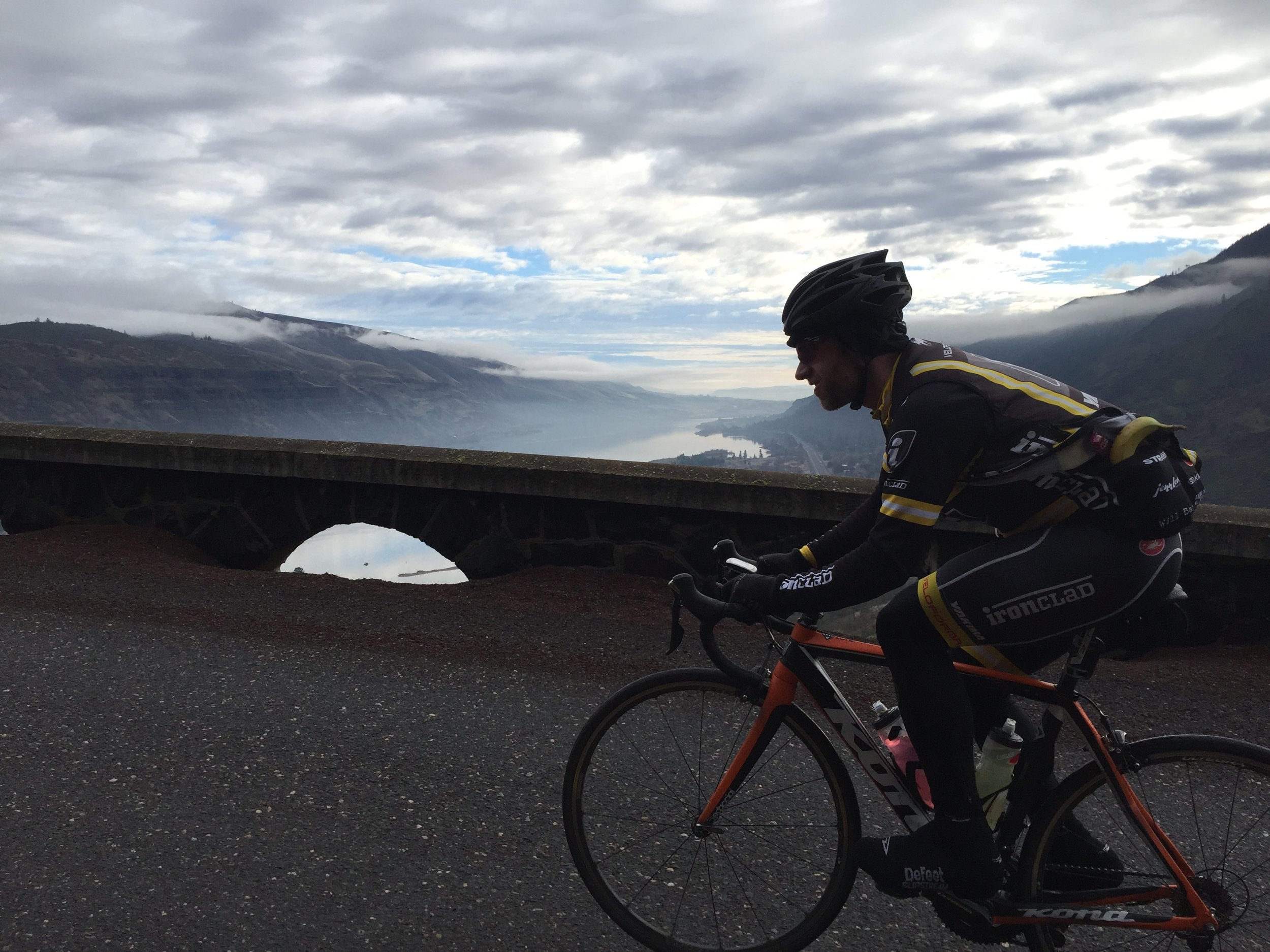
This classic route between The Dalles and Mosier is beloved for its relatively easy grades and its iconic Rowena Loops vista. It works great as a return route to finish off a hard day if you started in Mosier, or just an easy out-and-back to the Rowena Crest.
Like the rest of the Historic Columbia River Highway, the Rowena Loops was designed by Samuel P. Lancaster — in the style of his friend and associate Sam Hill of Maryhill Loops fame — so you KNOW it’s good!
One day I’ll talk to a local historian about the names of all these roads, but for now I’ll speculate that this road went to someone’s ranch by the name of Robert or Roberts.
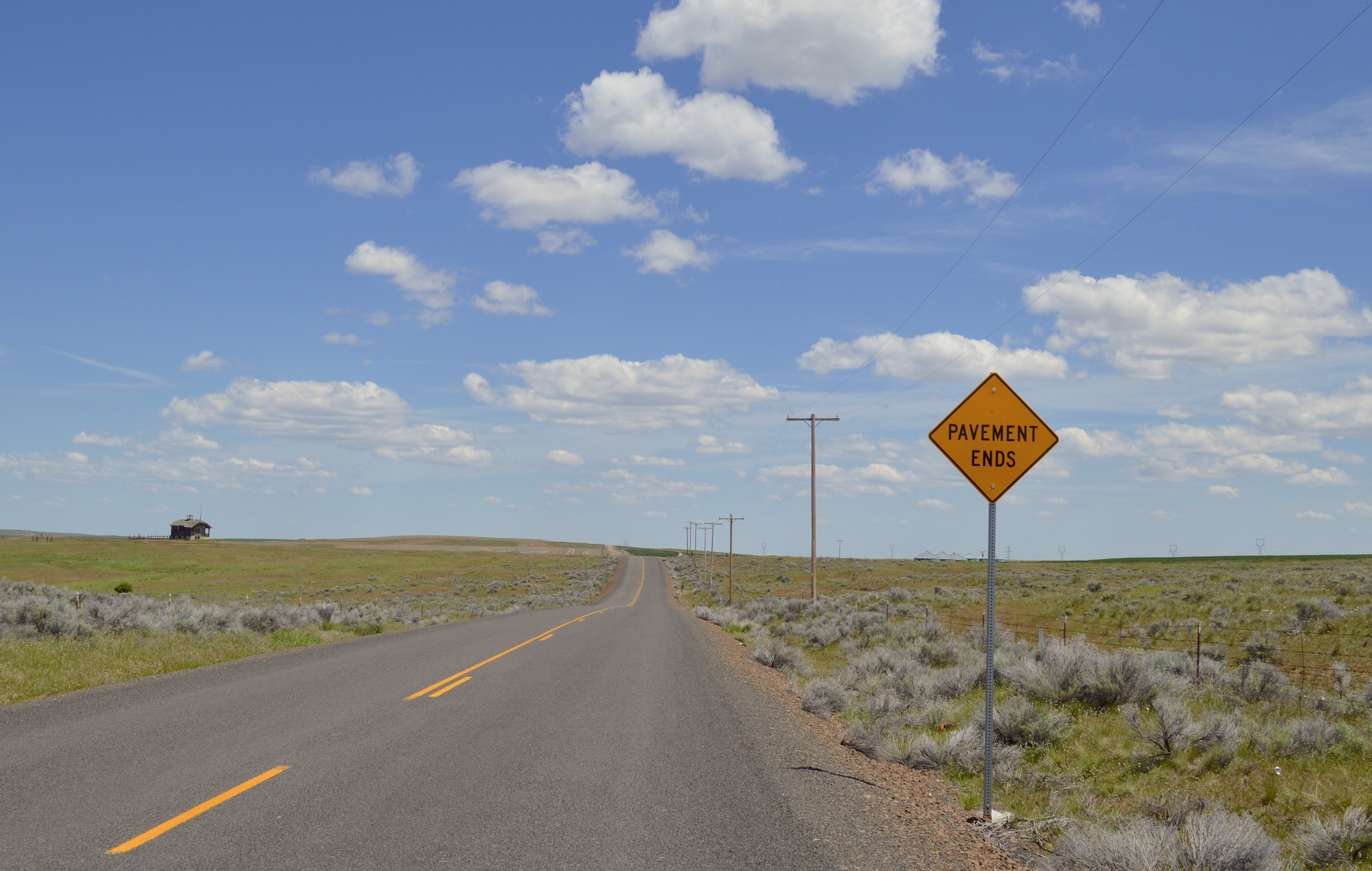
This road is long-known by gravel aficionados for its early miles in the grueling Oregon Stampede Route, including the iconic abandoned schoolhouse known as the “Grammers’ School” (because everyone puts it on Instagram) and the route’s first interminable climb up to Center Ridge. [LINK]
I have no idea why this road is named Japanese Hollow, but I believe there are some cherry trees along the road. If you know the history, drop me a line.
I learned about Japanese Hollow as the namesake of OMTM’s excellent Japanese Hollow loop, which routes you up Japanese Hollow so you can go down the magnificent Pleasant Ridge descent.
Apart from its unusual name, Japanese Hill is a similarly bucolic half-gravel road to its neighbors. It climbs up a nice valley with some scrubby trees — first gradually on pavement, then steep gravel.
Sure, you could say that Center Ridge Road is just a road on top of a ridge that’s half-paved, half-gravel, and connects a bunch of other roads together. And you’d be right.
But Center Ridge is definitely noteworthy on its own on its own. It traverses a high triangle between the watersheds of the Deschutes River, the White River and 15 Mile Creek — and you can see for many, many miles in every direction. On a good day, you can see Mt Jefferson, Mt Hood, Mt Adams, Mt St Helens, Mt Rainier and Goat Rocks. On a bad day, it’s hot or windy or cold or storming or all of the above.
Ride a couple road rides in The Dalles and I guarantee you’ll end up on Fifteenmile Road pretty quickly. Fifteenmile is the silk road to the East, snaking along Fifteenmile Creek, the largest of all the rivers in the Dalles Watershed. The road connects to everything in the drier, grassier Eastern hills.
My only complaint about Fifteenmile is that it doesn’t continue through along Fifteenmile Creek all the way to Dufur. Private ranch owners must have laid claim to those areas long ago.
In spite of this missed connection, Fifteenmile is still, unarguably, a very long, very mellow, very low-traffic road. And it’ll take you to a lot of places.
Mill Creek Lookout breaks off of the end of Mill Creek Road onto a rugged path and claws its way from the bottom of the valley onto the ridge top that’s been sharpened over the millennia by the north and south forks of Mill Creek running parallel on either side. It’s remote, 4-wheelers-and-shotgun-shells territory up here, so make sure you have everything you need in the event of a double-flat-broken-derailleur-type scenario.
It’s long. It’s in a hollow. It’s paved. It’s the easiest way to get up to Center Ridge road. There’s nothing that really sticks out about Long Hollow except that it’s a smooth-as-glass paved road in the middle of nowhere with absolutely no traffic that has amazing views of Mount Adams. If this road was anywhere else, it would be one of the best roads around, but it’s in The Dalles, so it’s only the 23rd-best road around..
Like a mirage in the dusty grasslands, Emerson Loop Road cuts a line of smooth tarmac through the rolling palouse hillsides between Eightmile and Fifteenmile creeks. I fondly remember this road as a smooth oasis in a grass desert after rattling my brain out of my skull down Wrentham Market or Roberts Market roads — back in the days of road bikes, rim brakes, and 25mm tires.
If you’re looking for an all-tarmac or mostly-tarmac ride through the open hillsides East of town, this is a great road to include.
Mill Creek departs from more or less the center of The Dalles, follows Mill Creek into a forest, then ascends all the way to the the top of the ridgeline above.
The road is mostly an easy spin along the creek. Eventually the pavement ends… “and the West begins.” Continue through onto Mill Creek Ridge road if you want to exit human civilization for a world of four-wheeler tracks, shotgun shells, abandoned cars. I once stopped early into a ride on Mill Creel at the Sandoz Farm stand and bought teriyaki pork jerky. I was glad to have it, hours later, as I lugged my bike over tree after tree on Mill Creek Ridge.








Use your imagination to picture the following image: a scraggly ridgetop of tan grass gets sliced across by an undulating doubletrack that descends off into the distance toward the faraway hillsides of Washington and the volcanic exclamation point of Mount Adams above. The doubletrack is bordered by old-timey barbed-wire fences held up by sunbaked wooden posts and an abandoned country schoolhouse sits at the top watching over it all. As you descend, you pass rusted-out farm equipment in yellow/green/red patinas, but you can only sort of register them because you’re now flying down one of the doubletracks at at 30 mph, rattling your brain out of your skull, hoping your 40mm tires don’t pop, and racing a friend on the track next to you if you’re lucky.
Now stop picturing and go ride it, because Hastings Ridge is the mystic downhill wagon trail of the collective gravel grinder’s dreams.